
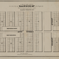
Plan of Part of the City of Bangor, Maine, circa 1834
- Item sets
- Maps of Bangor, Maine, 1834-1956
- Title
- Plan of Part of the City of Bangor, Maine, circa 1834
- Is Part Of
- Bangor Public Library Special Collections
- Date
- 1834
- Description
- This map was published sometime shortly after 1834 as it shows the Bangor House. As this map differs considerably from other maps of Bangor, this might be a proposed plan. Note that "New York Park" is roughly in the Fairmount area of the city. Published by N. Currier, lithographer (precursor to Currier and Ives). Attached to Plan of Parts of the City of Bangor.
- Creator
- N. Currier (Firm)
- Spatial Coverage
- Bangor (Me.)
- Type
- Maps
- Format
- 29.5 x 22 inches
- Language
- English
- Rights
-
