Explore history through the digital collections of the Bangor Public Library and our community partners in Bangor, Maine
Maps of Bangor, Maine, 1834-1956
Title
Maps of Bangor, Maine, 1834-1956
Description
Historical maps and plans, the earliest dating to Bangor's incorporation as a town in 1834. Additional maps are available to view in the Local History Room.
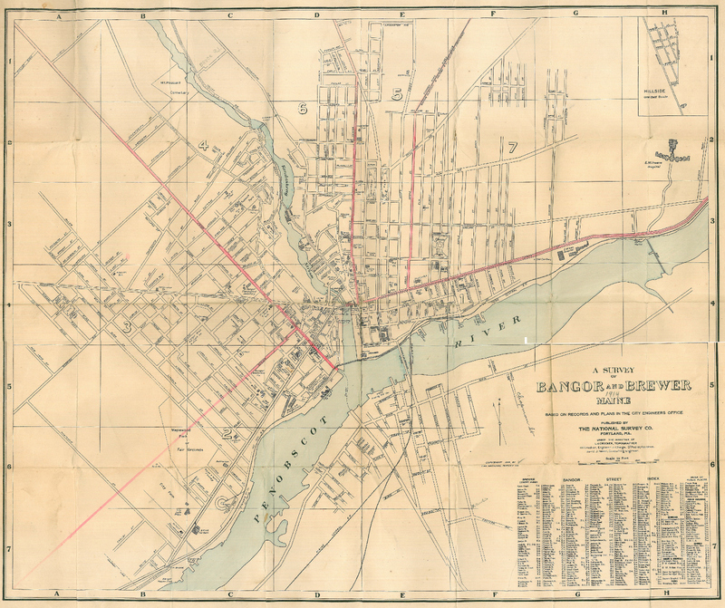
"Based on Records and Plans in the City Engineers Office. Published by the National Survey Co., Portland, Me. Under the Direction of L. V. Crocker, Topographer. H. F. Crocker, Engineer in Charge. E. F. Pooler, Assistant. David J. Nason, Consulting Engineer."
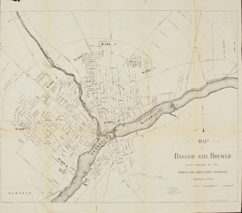
"Published by Portland Directory Company, Portland, Maine. Made 1892 by Baldwin & Coombs, Civil Engineers. Revised by David J. Nason, Civil Engineer, Bangor, Me."
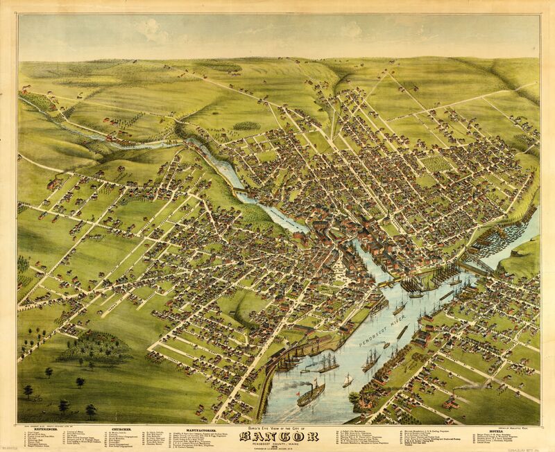
This bird's-eye view of Bangor, Maine, from 1875 shows the city and immediate outlying areas from an overhead perspective. The salient features of Bangor are readily identifiable with some of the more specific detail filled in. Most of the details are quite accurate, even to the names on the ships in the harbor. The map is not to scale. Drawn by Augustus Koch.
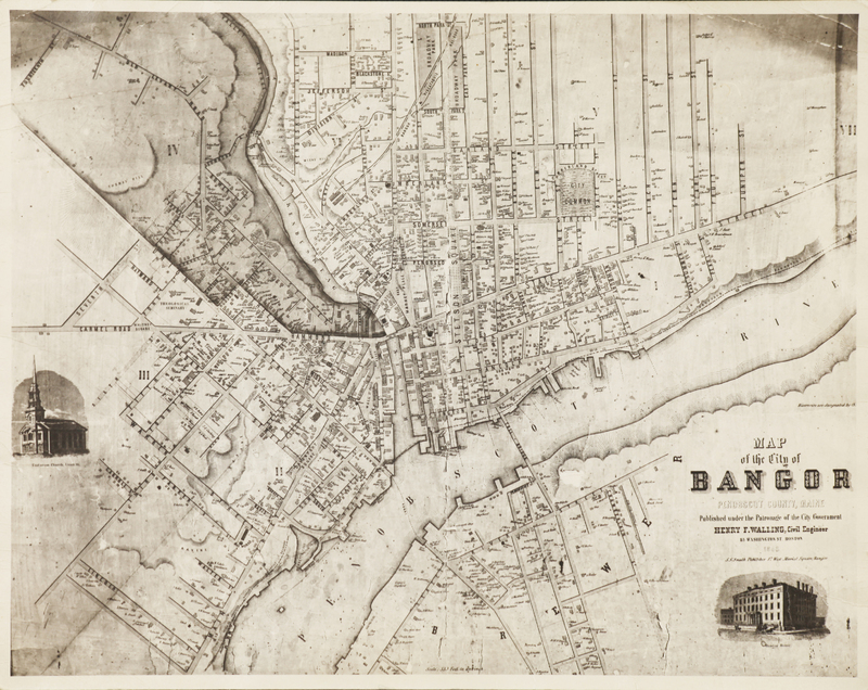
Photographic reproduction of a wall-size map showing Bangor, Maine, and part of Brewer, Maine. Scale 33.7 feet to the inch (on original). Shows names of property holders and election districts. Includes illustrations of Unitarian Church, Union St. and Bangor House. "Published under the Patronage of the City Government; Henry F. Walling, Civil Engineer ... S. S. Smith, Publisher, 17 West Market Square, Bangor."
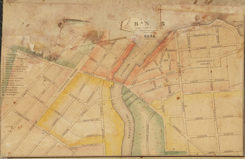
Map of the newly incorporated city of Bangor, Maine. The map was published by Nourse & Smith and printed by Pendleton of Boston. It includes references to churches, public buildings, hotels, and schools. The map is mounted on a linen backing. It was originally included with the Bangor City Directory for 1834.
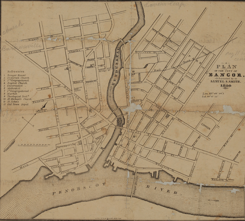
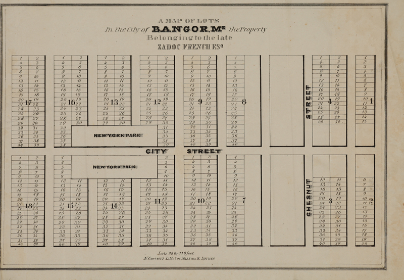
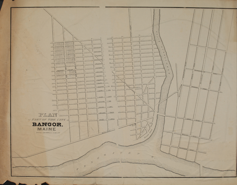
This map was published sometime shortly after 1834 as it shows the Bangor House. As this map differs considerably from other maps of Bangor, this might be a proposed plan. Note that "New York Park" is roughly in the Fairmount area of the city. Published by N. Currier, lithographer (precursor to Currier and Ives). Attached to Plan of Parts of the City of Bangor.
"The Property Belonging to the Late Zadoc French Esq." Lots 25 by 100 feet. Zadock Published by N. Currier, lithographer (precursor to Currier and Ives). Attached to Plan of Parts of the City of Bangor.
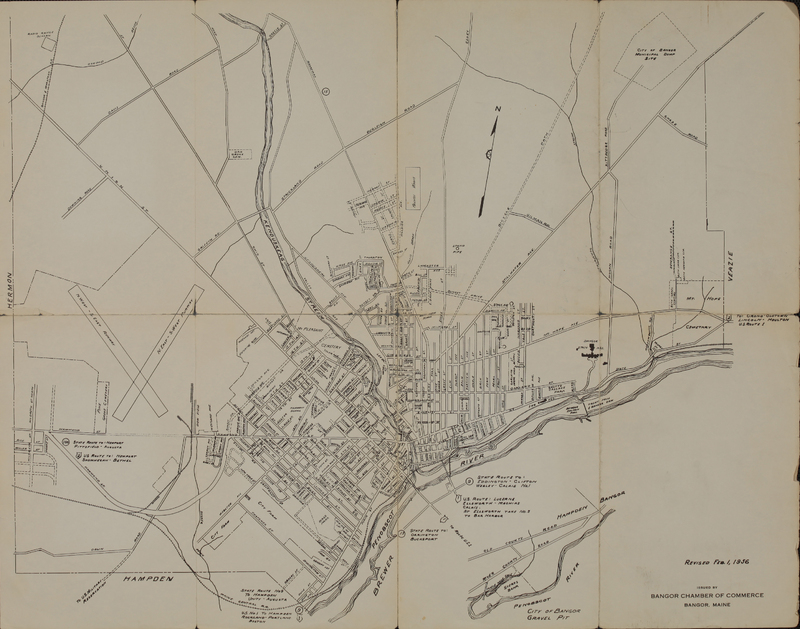
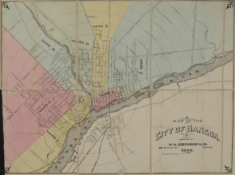
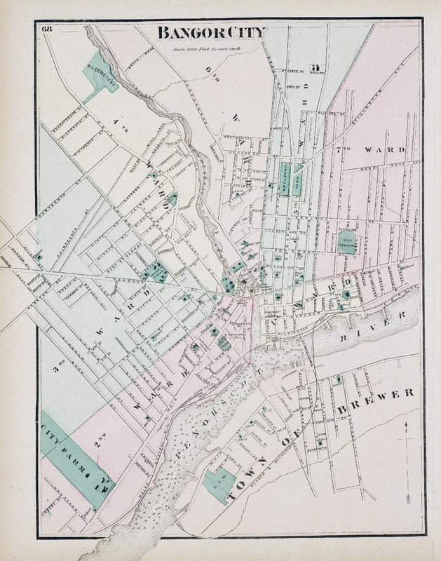
Map of the city center of Bangor in Penobscot County, Maine. Scale 1000 feet to one inch. Includes election districts (wards) and portion of the Town of Brewer.
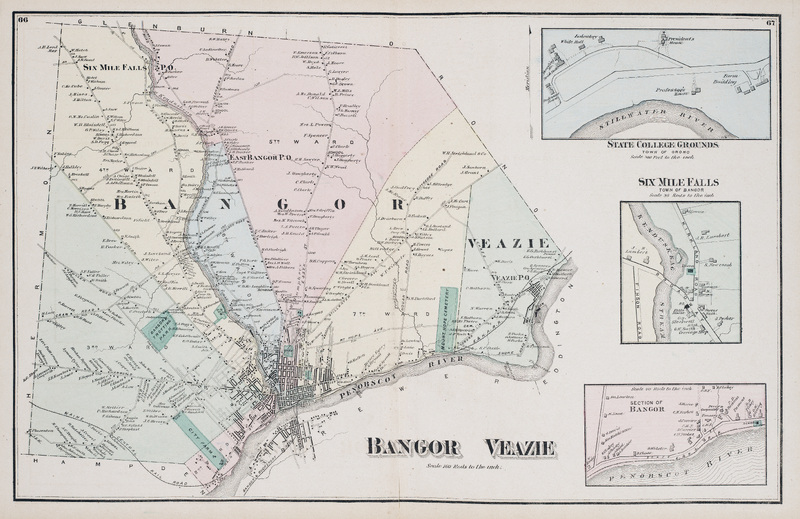
Map of Bangor and Veazie in Penobscot County, Maine. Scale 160 rods to the inch. Includes detail maps of State College Grounds (Town of Orono), Six Mile Falls (Town of Bangor) and a section of Bangor along the Penobscot River.