Items

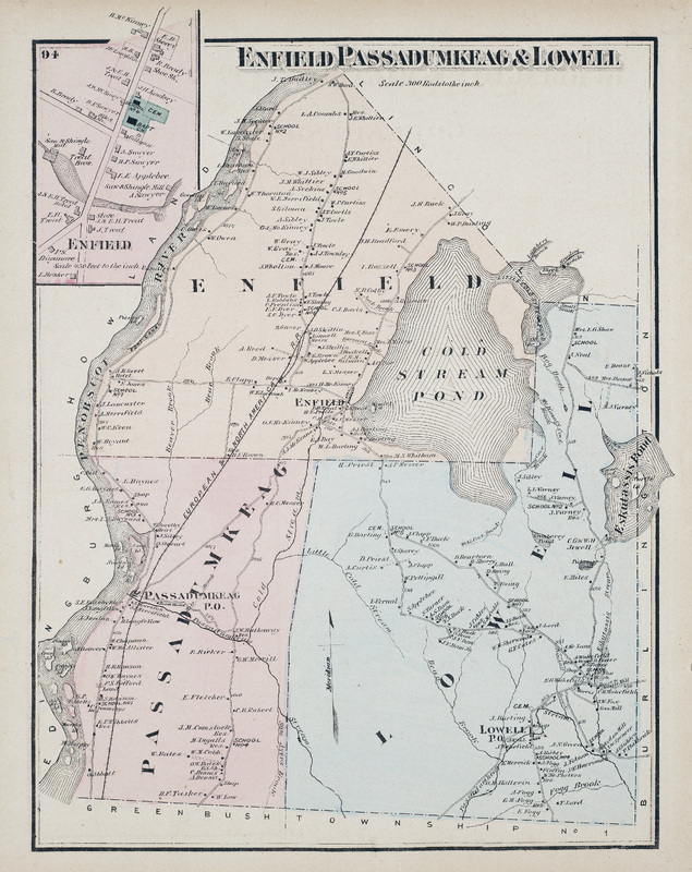
Enfield, Passadumkeag & Lowell
Map of Enfield, Passadumkeag, and Lowell in Penobscot County, Maine. Scale 300 rods to the inch. Includes detail map of Enfield town center.
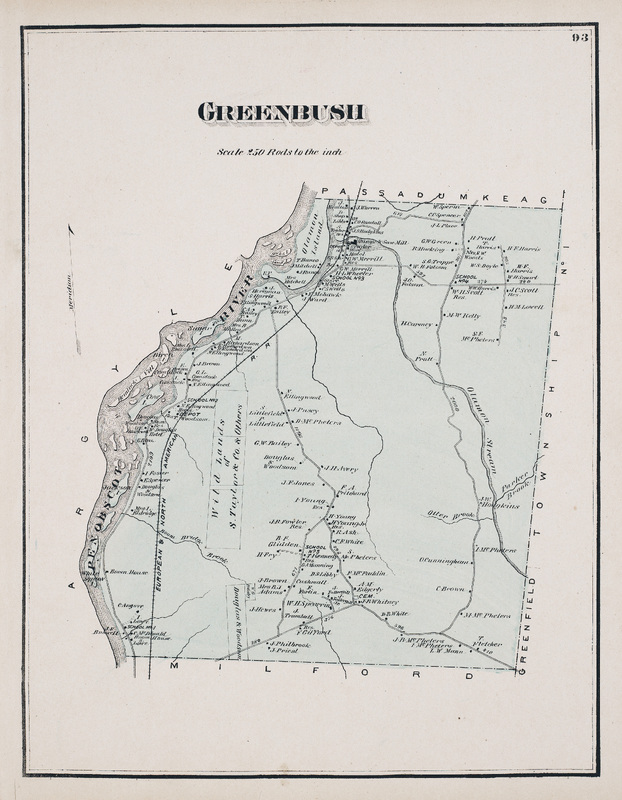
Greenbush
Greenbush
Map of Greenbush in Penobscot County, Maine. Scale 250 rods to the inch.
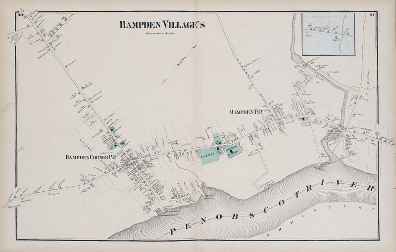
Hampden Villages
Hampden Villages
Map of Hampden Corner and Hampden in Penobscot County, Maine. Scale 500 feet to the inch.
Orrington, South Orrington, East Orrington
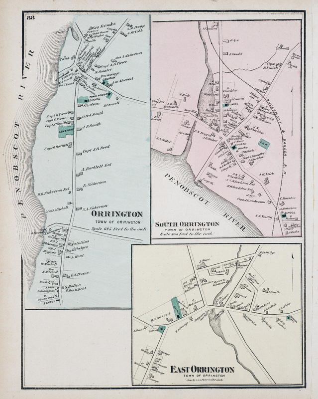
Detail maps of Orrington, South Orrington, and East Orrington in Penobscot County, Maine.
Hampden & Orrington
Hampden & Orrington
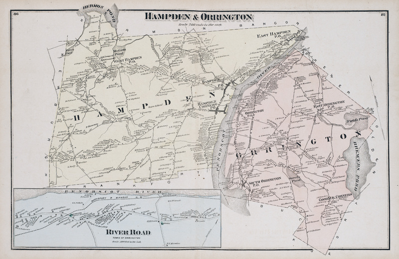
Map of Hampden and Orrington in Penbscot County, Maine. Scale 200 rods to the inch. Includes detail map of River Road (Town of Orrington).
Hermon
Hermon
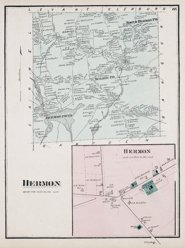
Map of Hermon in Penbscot County, Maine. Scale 240 rods to the inch. Includes detail map of Hermon center.
Dixmont & Newburgh
Dixmont & Newburgh
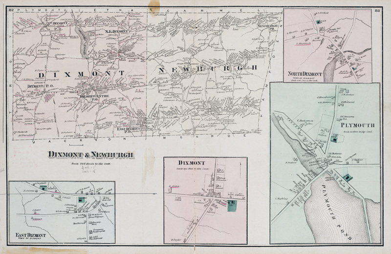
Map of Dixmont and Newburgh in Penobscot County, Maine. Scale 240 rods to the inch. Includes detail maps of North Dixmont, East Dixmont, Dixmont, and Plymouth.
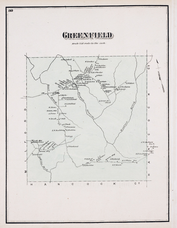
Greenfield
Greenfield
Map of Greenfield in Penobscot County, Maine. Scale 250 rods to the inch.
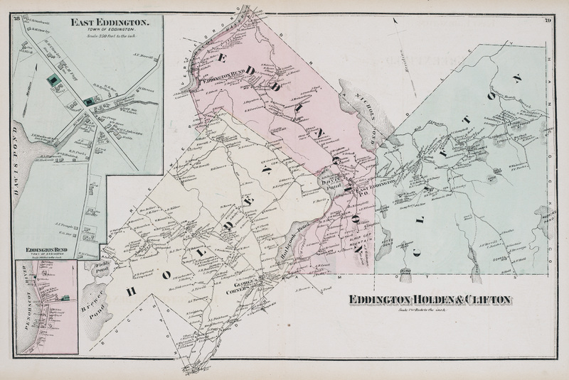
Eddington, Holden & Clifton
Map of Eddington, Holden, and Clifton in Penobscot County, Maine. Scale 240 rods to the inch. Includes detail maps of East Eddington and Eddington Bend.
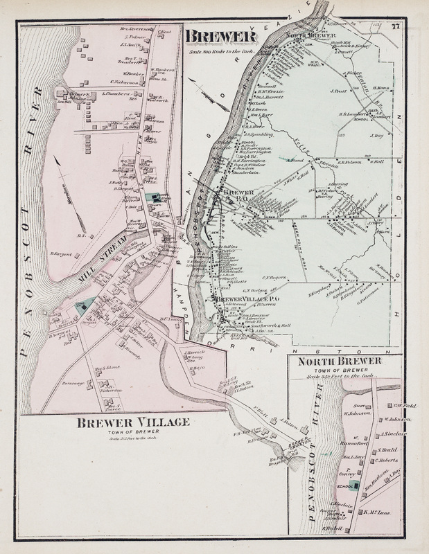
Brewer
Brewer
Map of Brewer in Penobscot County, Maine. Scale 200 rods to the inch. Includes detail maps of Brewer Village and North Brewer.
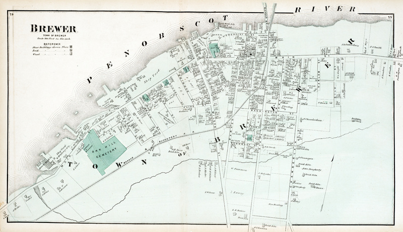
Brewer (Town of Brewer)
Map of the Town of Brewer in Penobscot County, Maine. Scale 300 feet to the inch.
Mount Hope Cemetery
Mount Hope Cemetery
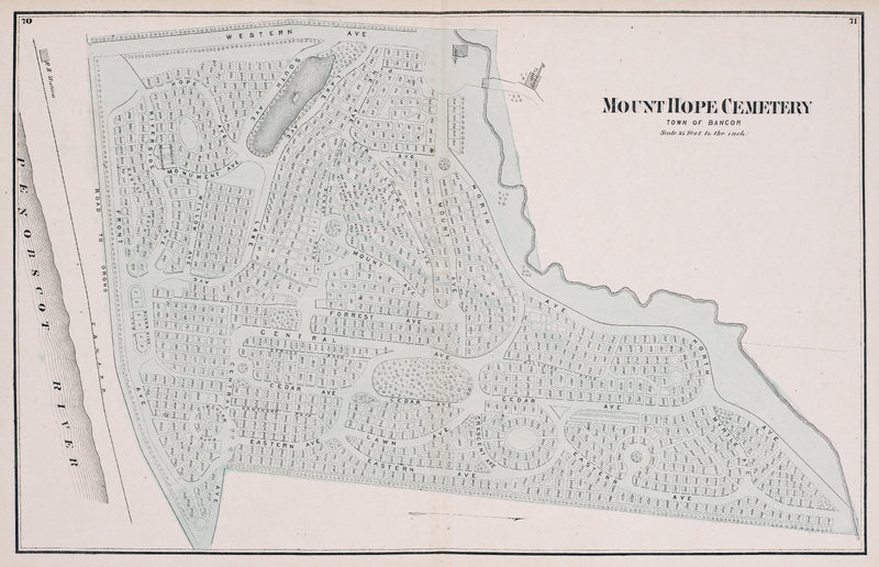
Map of Mount Hope Cemetery in Bangor, Maine. Scale 85 feet to the inch.
Bangor City
Bangor City
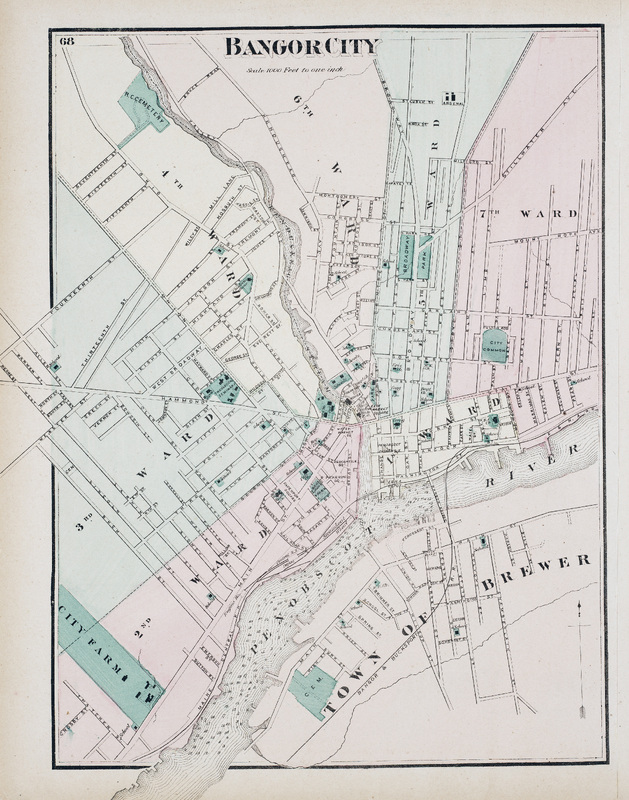
Map of the city center of Bangor in Penobscot County, Maine. Scale 1000 feet to one inch. Includes election districts (wards) and portion of the Town of Brewer.
Bangor and Veazie
Bangor and Veazie
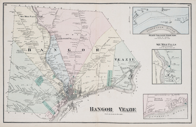
Map of Bangor and Veazie in Penobscot County, Maine. Scale 160 rods to the inch. Includes detail maps of State College Grounds (Town of Orono), Six Mile Falls (Town of Bangor) and a section of Bangor along the Penobscot River.
Veazie
Veazie
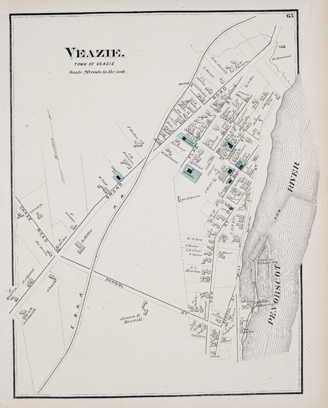
Map of the town of Veazie in Penobscot County, Maine. Scale 20 rods to the inch.
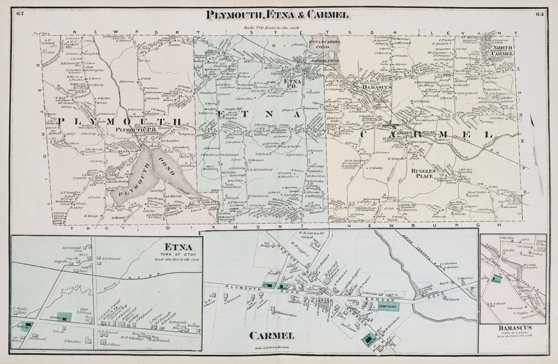
Plymouth, Etna & Carmel
Map of Plymouth, Etna, and Carmel in Penobscot County, Maine. Scale 240 rods to the inch. Includes detail maps of Town of Etna, Carmel, and Damascus (Town of Carmel).
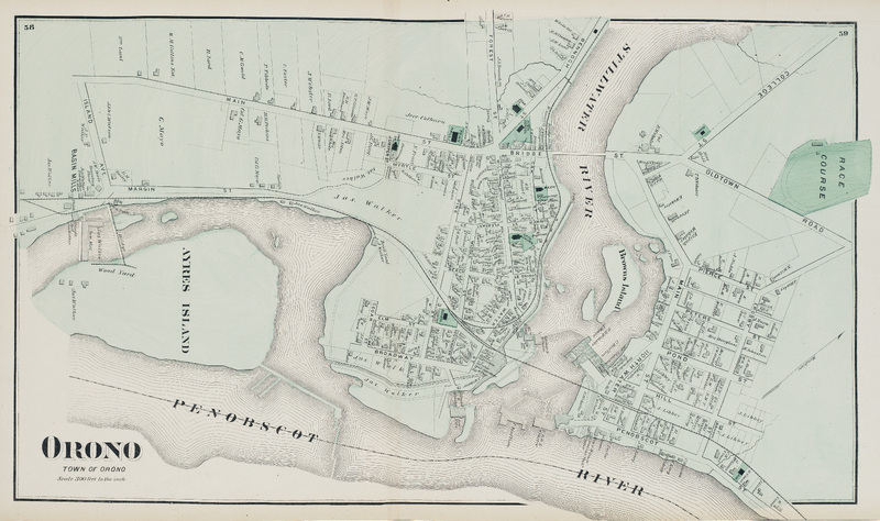
Orono
Orono
Map of the town of Orono in Penobscot County, Maine. Scale 300 feet to the inch.
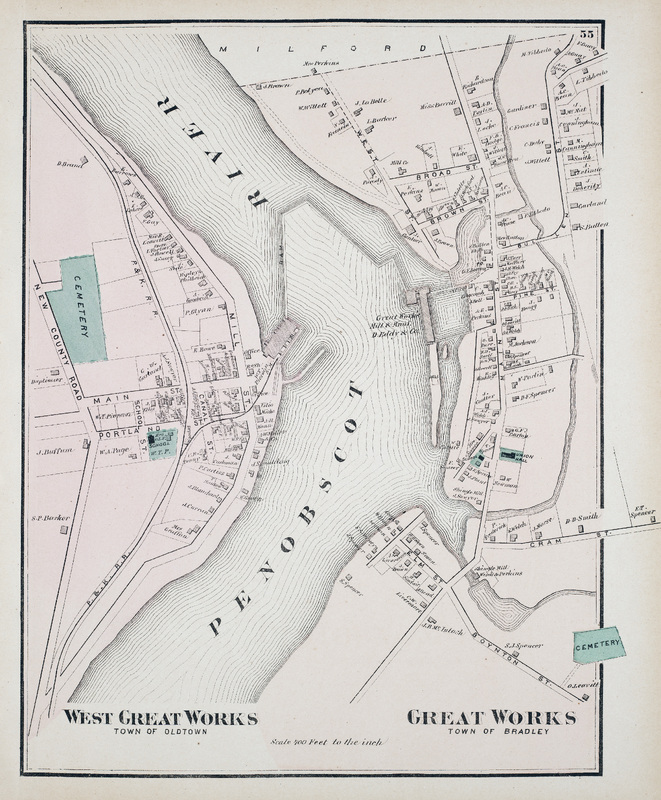
West Great Works and Great Works
Map of West Great Works (Town of Old Town) and Great Works (Town of Bradley) in Penobscot County, Maine. Scale 400 feet to the inch.
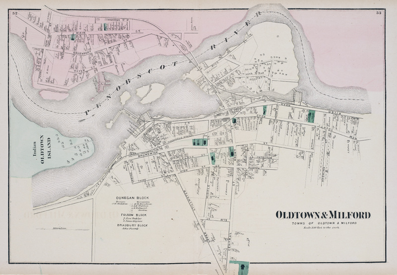
Old Town & Milford
Old Town & Milford
Map of the towns of Old Town and Milford in Penobscot County, Maine. Scale 220 feet to the inch. Includes part of Indian Island, the primary village and seat of government of the Penobscot Nation.
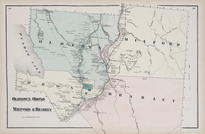
Oldtown, Orono, Milford & Bradley
Map of Old Town, Orono, Milford, and Bradley in Penobscot County, Maine. Scale 240 rods to the inch.
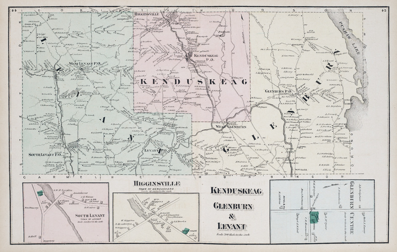
Kenduskeag, Glenburn & Levant
Map of Kenduskeag, Glenburn, and Levant in Penobscot County, Maine. Scale 200 rods to the inch. Includes detail maps of South Levant, Higginsville (Town of Kenduskeag), and Glenburn Centre.

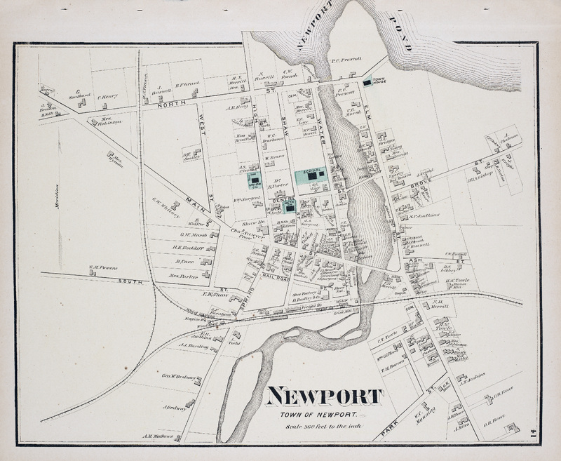
Newport
Newport
Map of the town of Newport in Penobscot County, Maine. Scale 360 feet to the inch.
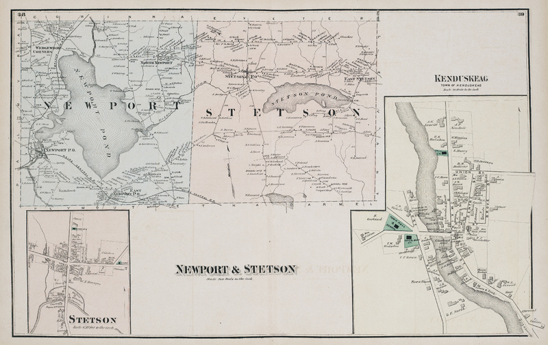
Newport & Stetson
Newport & Stetson
Map of Newport and Stetson in Penobscot County, Maine. Scale 240 rods to the inch. Includes detail maps of Stetson and Kenduskeag.
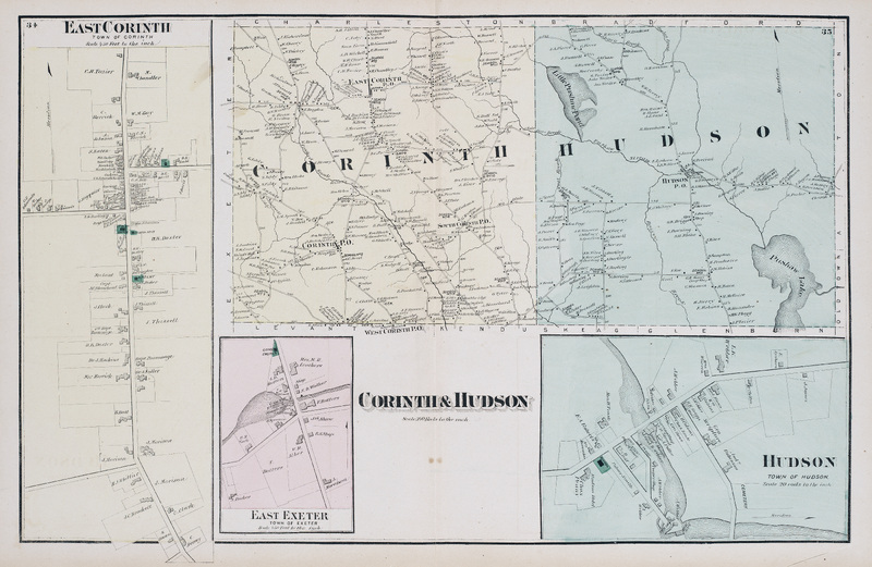
Corinth & Hudson
Corinth & Hudson
Map of Corinth and Hudson in Penobscot County, Maine. Scale 240 rods to the inch. Includes detail maps of East Corinth, East Exeter, and Hudson.