Explore history through the digital collections of the Bangor Public Library and our community partners in Bangor, Maine
Atlas of Penobscot County, Maine, 1875
Title
Atlas of Penobscot County, Maine, 1875
Description
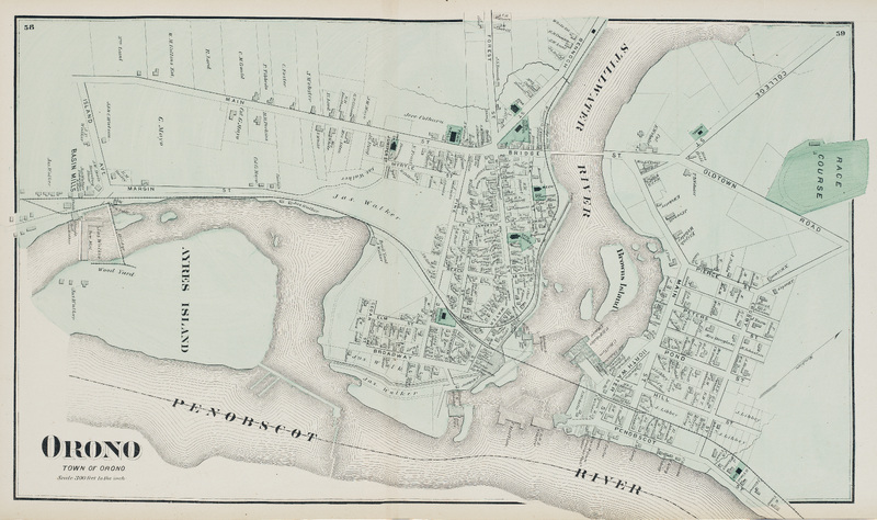
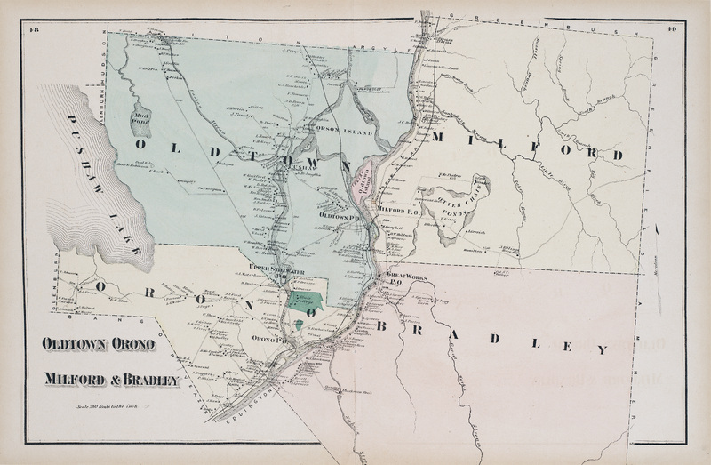
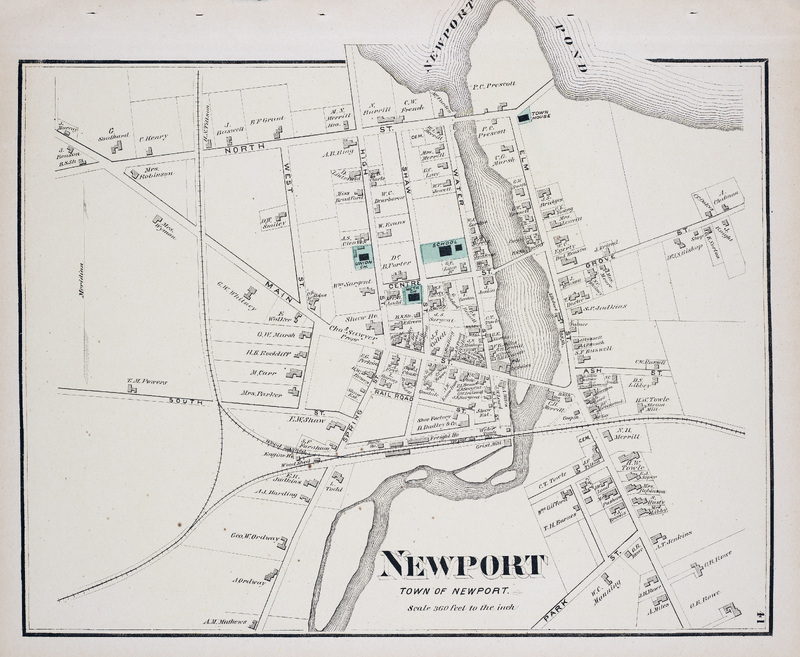
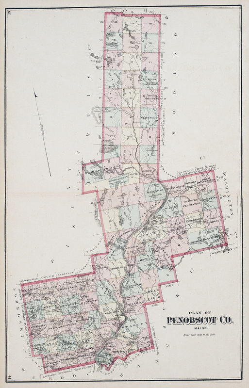
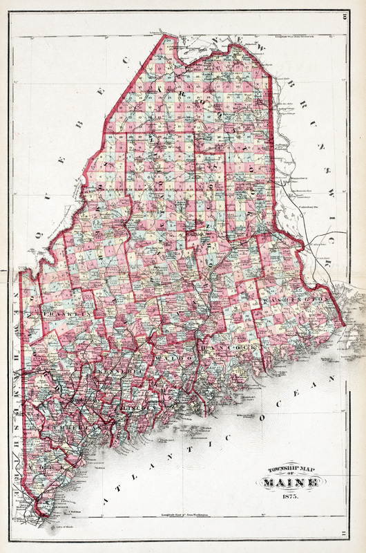
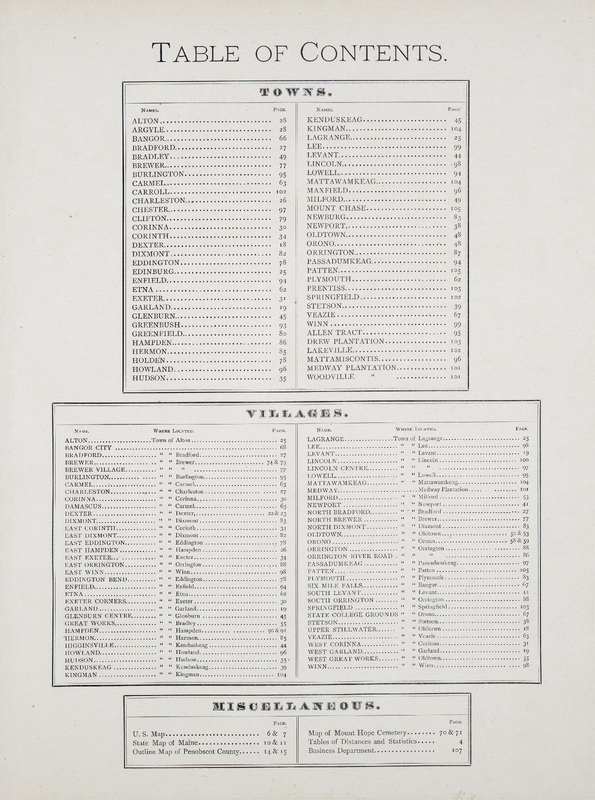
The Atlas of Penobscot County, Maine, shows the county and towns in detail, including roads, businesses, and residences. Published by Comstock & Cline, New York.
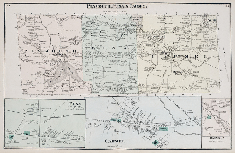
Map of Plymouth, Etna, and Carmel in Penobscot County, Maine. Scale 240 rods to the inch. Includes detail maps of Town of Etna, Carmel, and Damascus (Town of Carmel).
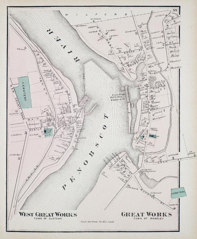
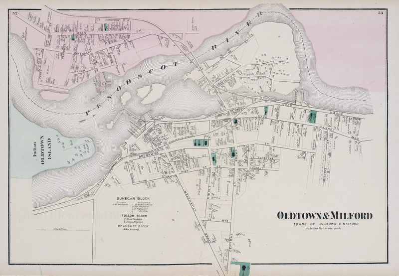
Map of the towns of Old Town and Milford in Penobscot County, Maine. Scale 220 feet to the inch. Includes part of Indian Island, the primary village and seat of government of the Penobscot Nation.
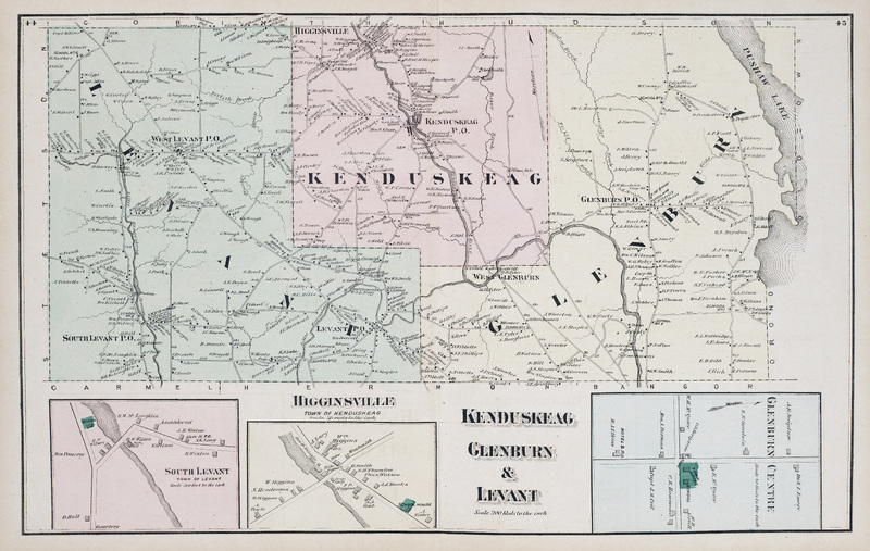
Map of Kenduskeag, Glenburn, and Levant in Penobscot County, Maine. Scale 200 rods to the inch. Includes detail maps of South Levant, Higginsville (Town of Kenduskeag), and Glenburn Centre.
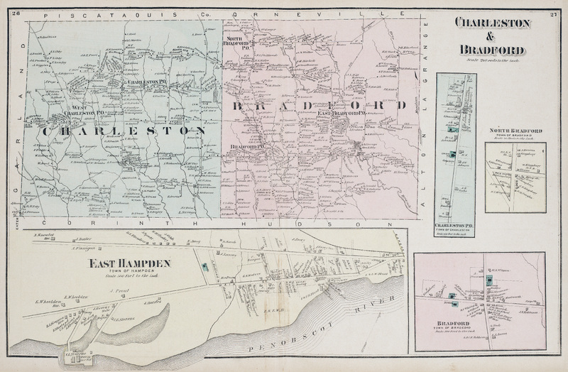
Map of Charleston and Bradford in Penobscot County, Maine. Scale 240 rods to the inch. Includes detail maps of East Hampden, Charleston, North Bradford, and Bradford.
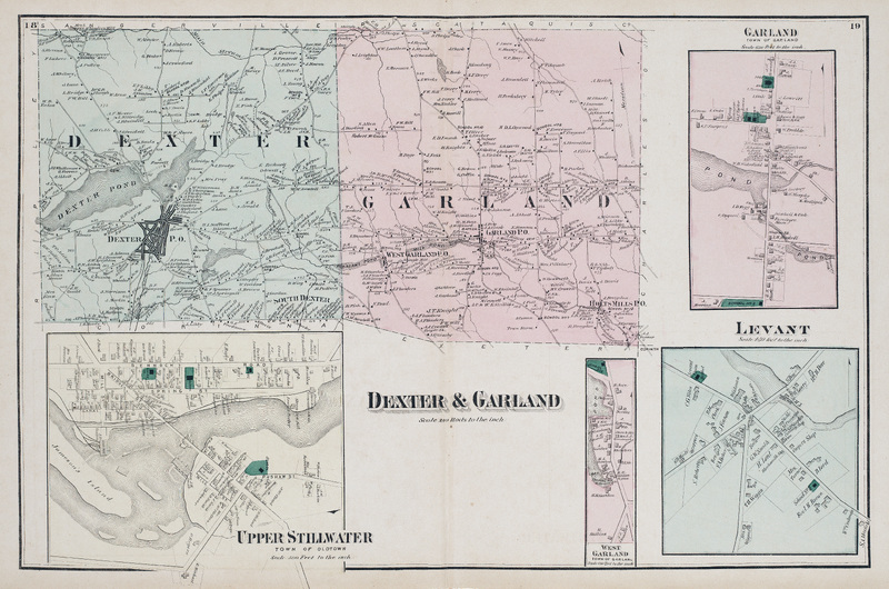
Map of Dexter and Garland in Penobscot County, Maine. Scale 240 rods to the inch. Includes detail maps of Upper Stillwater (Town of Old Town), Garland, West Garland, and Levant.
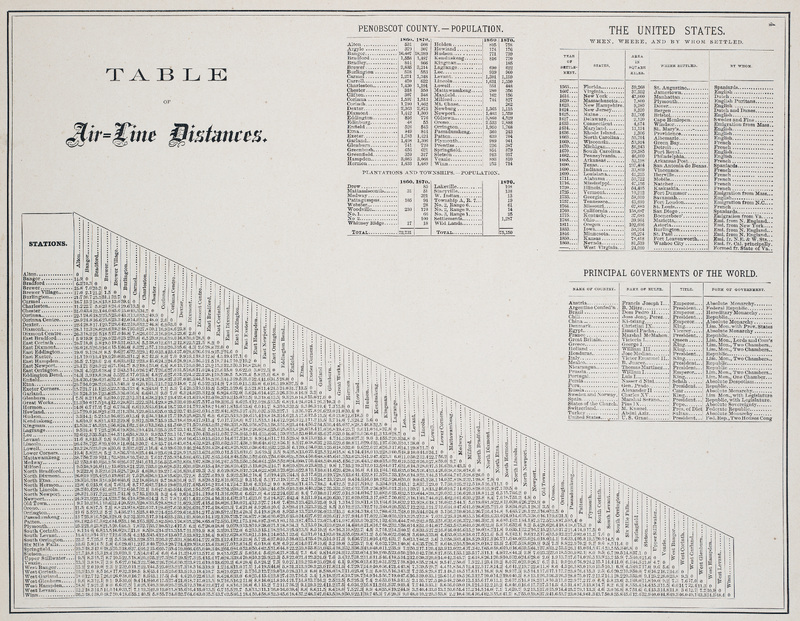
Table listing air-line distances between the towns in Penobscot County, Maine. Also includes information about the population of Penobscot County towns, plantations, and townships in 1860 and 1870.
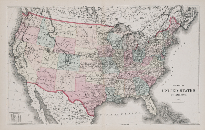
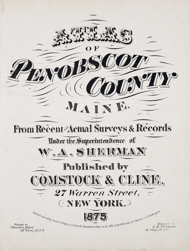
Atlas of Penobscot County, Maine. From Recent Actual Surveys & Records Under the Superintendence of W. A. Sherman. Published by Comstock & Cline, 27 Warren Street, New York. 1875.